THE DEVELOPMENT OF FARMING
Woodstreet was in that area of the Forest of Windsor known as Guildford Park. It is well known that Guildford Park was a popular Royal Hunting Ground. The King retained, by Magna Carta, the right to any deer straying on disafforested land. King John and King Henry III were especially regular visitors. After the death of Henry III Guildford Castle fell into decay, which resulted in Royalty staying in the moated hunting lodge just half a mile from the modern village boundary. Worplesdon Manor had been conveyed to the Crown in 1363, so it is unlikely that those who held the Manor would have managed it in a way which was disadvantageous to royal hunting.
We believe that Woodstreet was a wooded area in the thirteenth, fourteenth and early fifteenth centuries. The “Summonses of the Pipe” of 1295 include the following assessments owed on Assarts (valuable forest clearings) in Worplesdon.
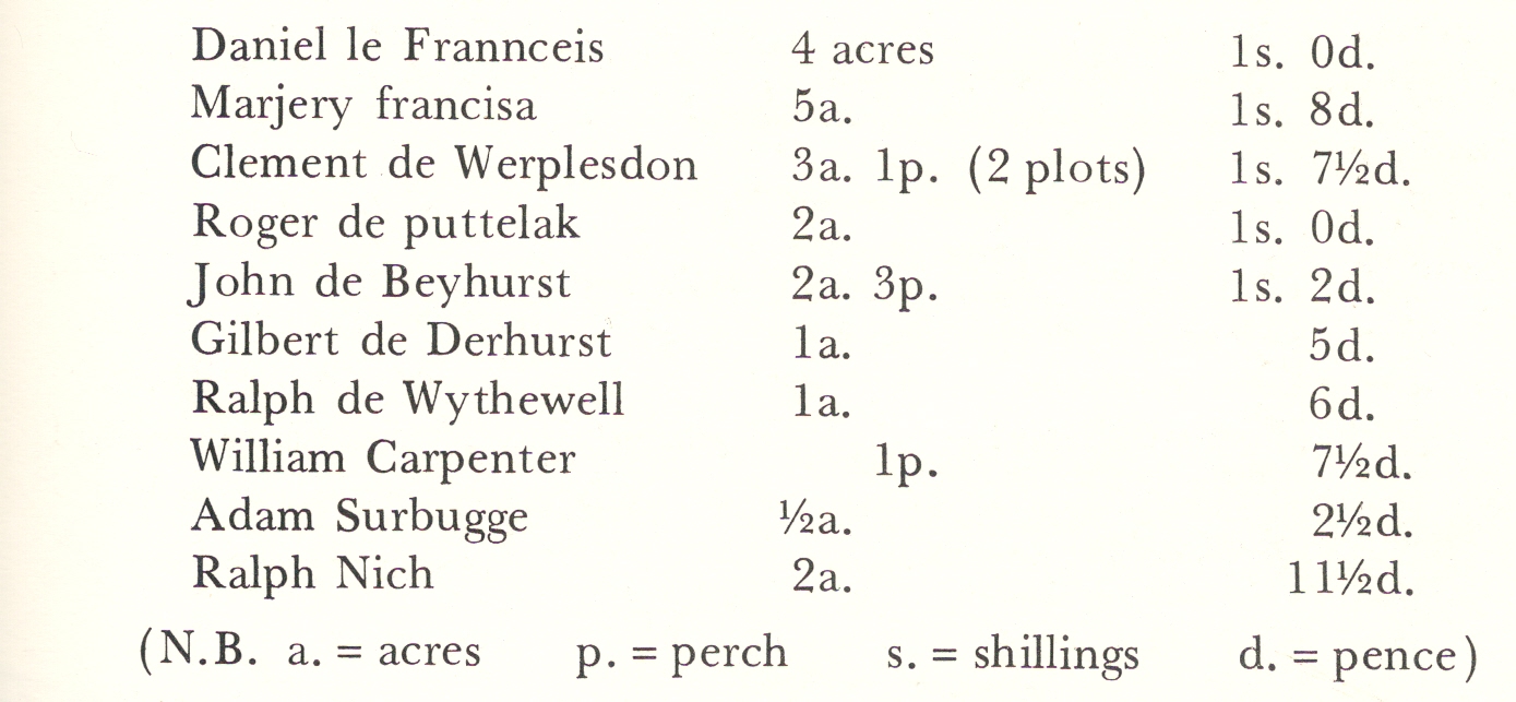
‘Summonses of the Pipe 1295’ ( Valuable Forest Clearings )
We also know that owners were not allowed to cut timber without permission from the agent of the Crown. In 1536 Christopher More Esq. authorised Robert Wintershull to take certain oaks from his wood known as ffrenches wood (a place in Woodstrect we have yet to identify). The 1562 Customs of the Manor of Worplesdon state clearly that a copy- holder could only take timber (we think that ‘timber’ refers to oak) for the repair of his dwelling. The Customs go on to state that tenants were allowed to take trees of elm, and all underwoods and coppices growing on their copyhold. Of course, dead wood for fuel had always been freely available. Queen Elizabeth I also allowed Worplesdon a reduction in the audit for lands (over which villagers had common rights) enclosed into Guildford Park.
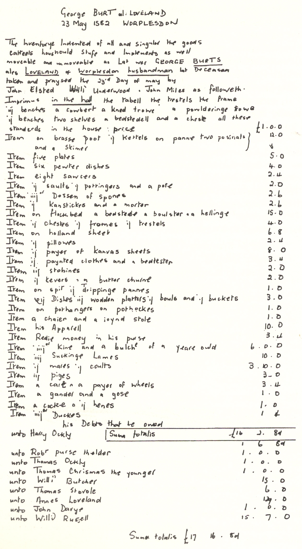
George Burt Al. Loveland 23 May 1582 Inventory
In the early sixteenth century John Russell bought a moiety (a half share) of land in Worplesdon. The document recording his purchase gives a clear picture of the proportionate use of land at the time: forty acres was arable land, twelve acres meadow, sixteen acres pasture and eight acres wood. This would not have been a single farm, but would have been split up around the parish. Farming in west Surrey involved both the three-field strip cultivation characteristic of the Midlands and the smaller, enclosed field system of Kent and south-east England. There was no apparent systematic arrangement of fields—a natural outcome in an area which had formerly been heavily wooded.
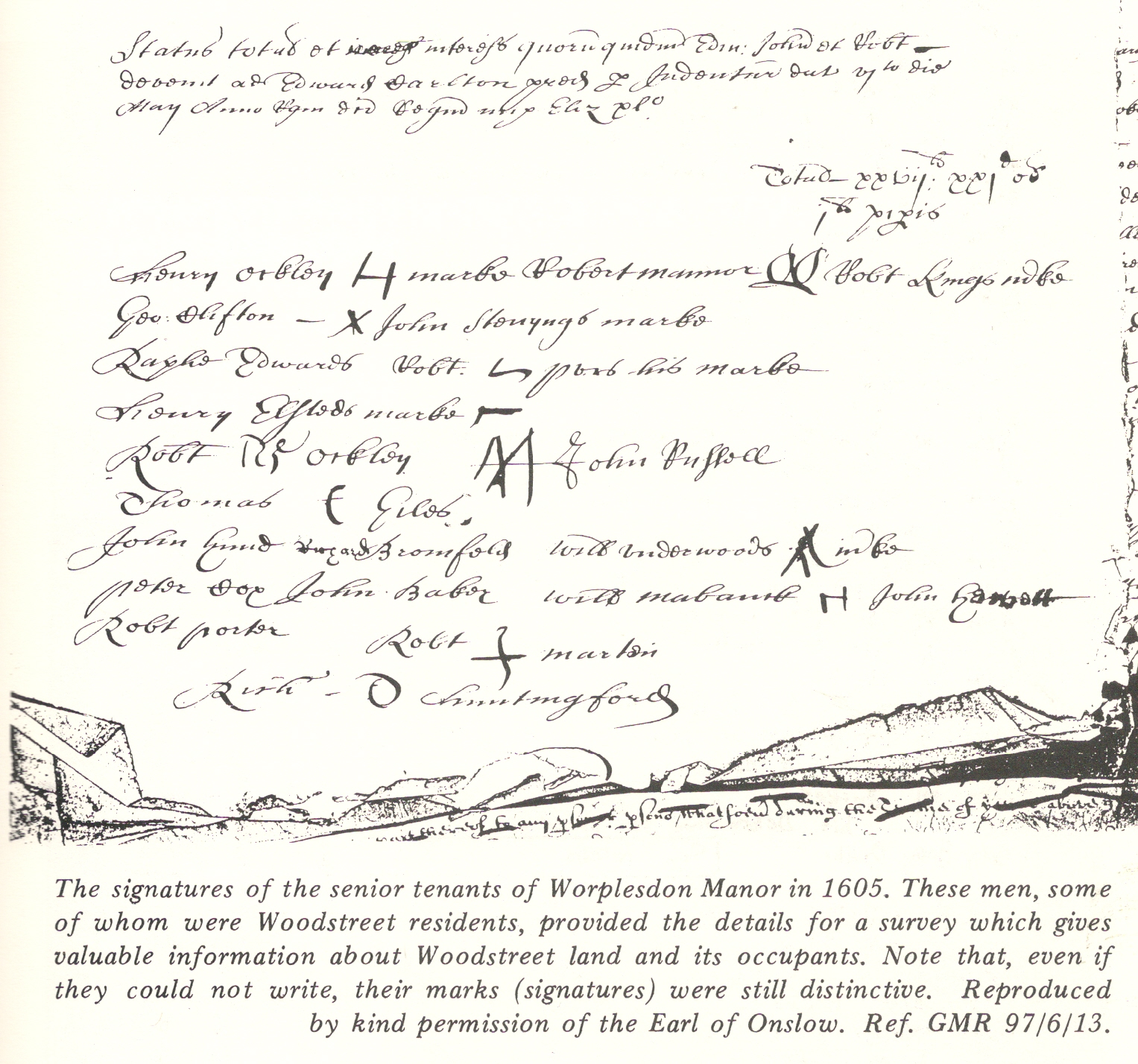
Signatures of Senior Tenants of Worplesdon Manor in 1605
By the early seventeenth century nucleated farms were beginning to become established. Tenants still had fields scattered around various parts of the parish, although the Woodstreet holdings were beginning to concentrate in one area. It was still common for farmers to own fields far from the main farm.
Sheep farming was prevalent in the area right up to the beginning of ,this century. A trader’s token was dug up in a Woodstreet garden bearing the name of John Martin with the emblem of a woolsack. The reverse side of the coin bore the words, IN GILFORD, a castle and the date 1652. Orchard Farm, off Broad Street, was owned by a Mr. Childs in 1680 and was run as a sheep farm until the early nineteenth century. At this time Mr. Smallpiece planted it as an orchard, whence the name. The commons, as well as the farmlands, were ideal for sheep grazing.

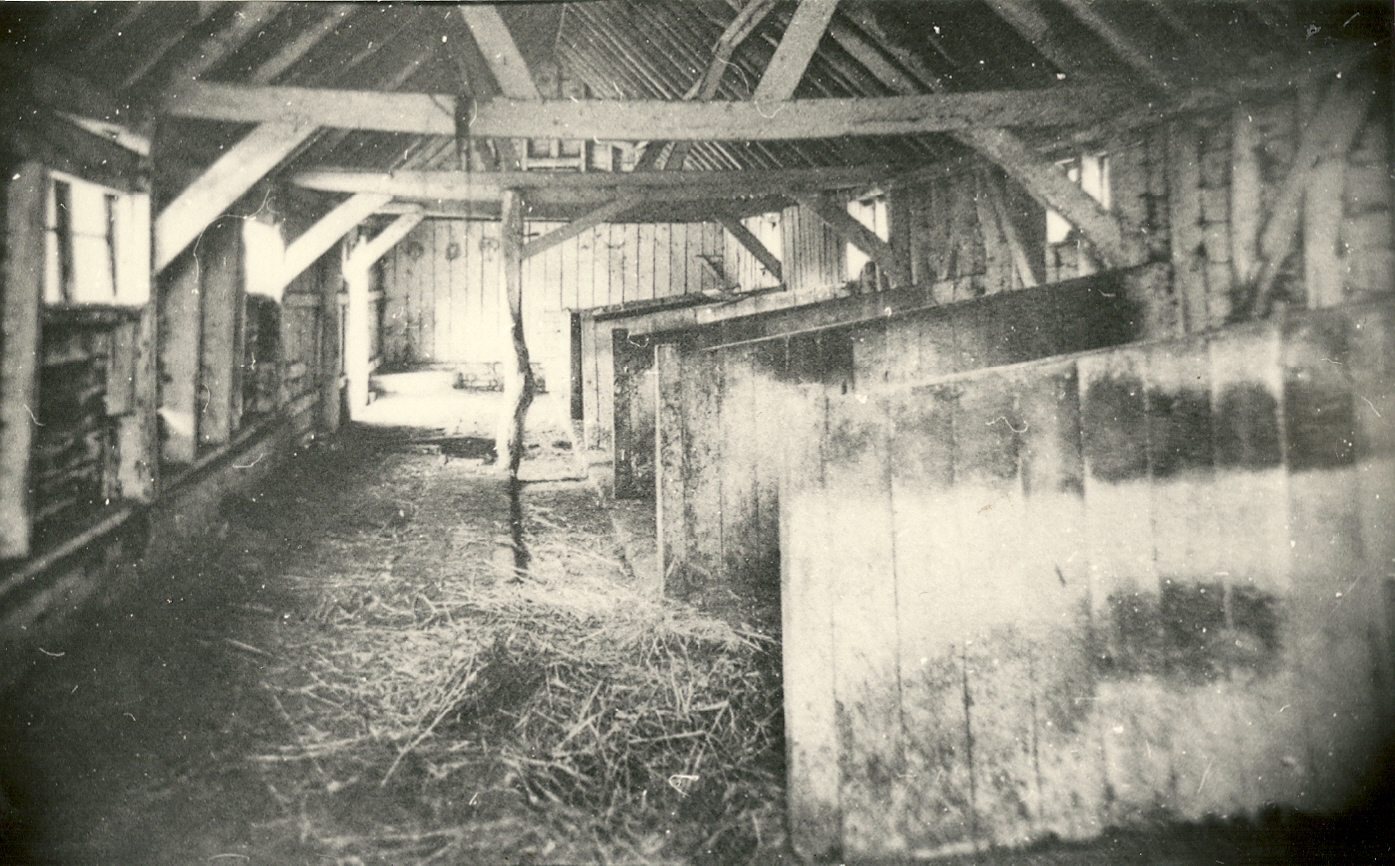
Inholms Barn c 1500 The Oldest Barn in the Parish
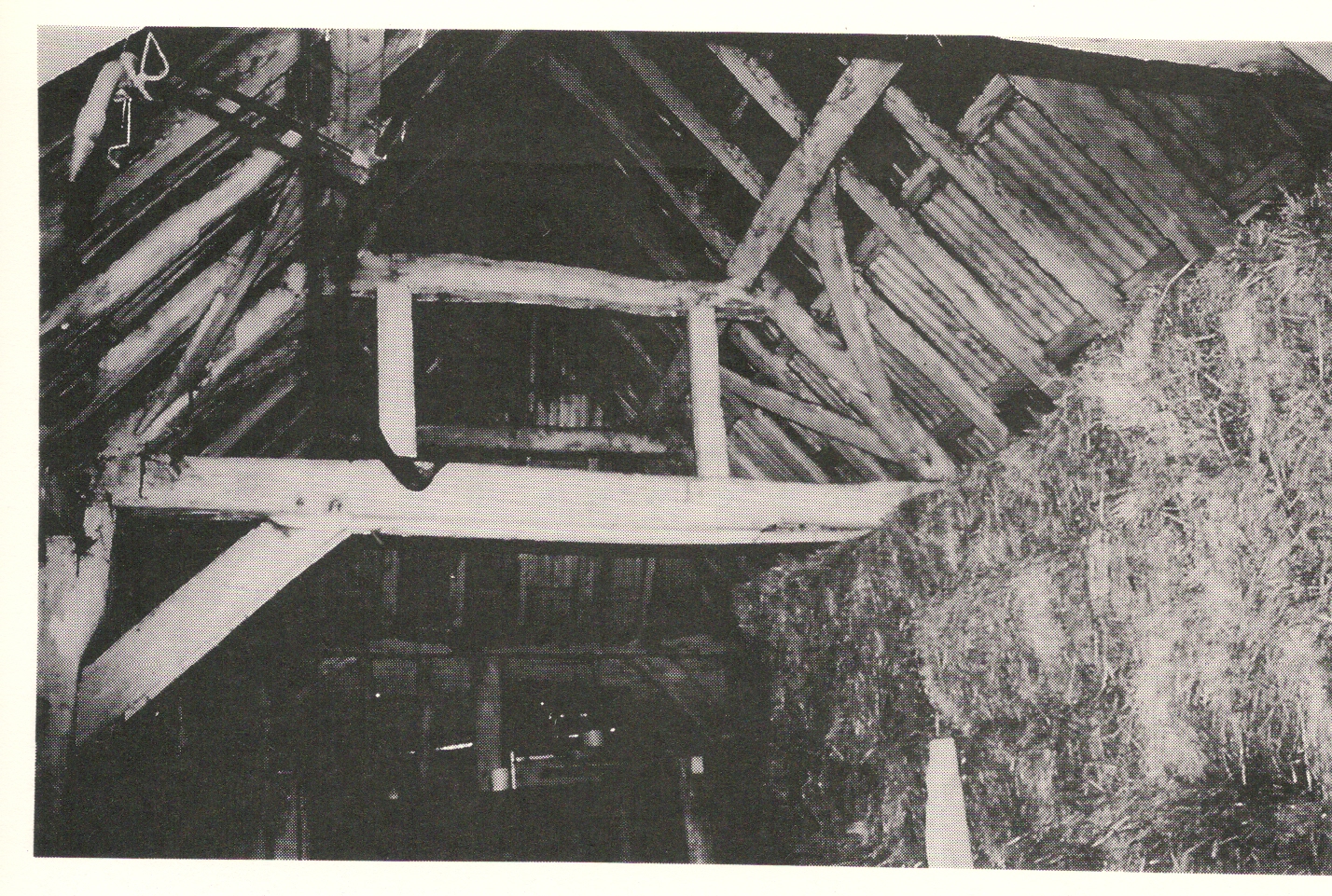
Chapel House Barn c 1580
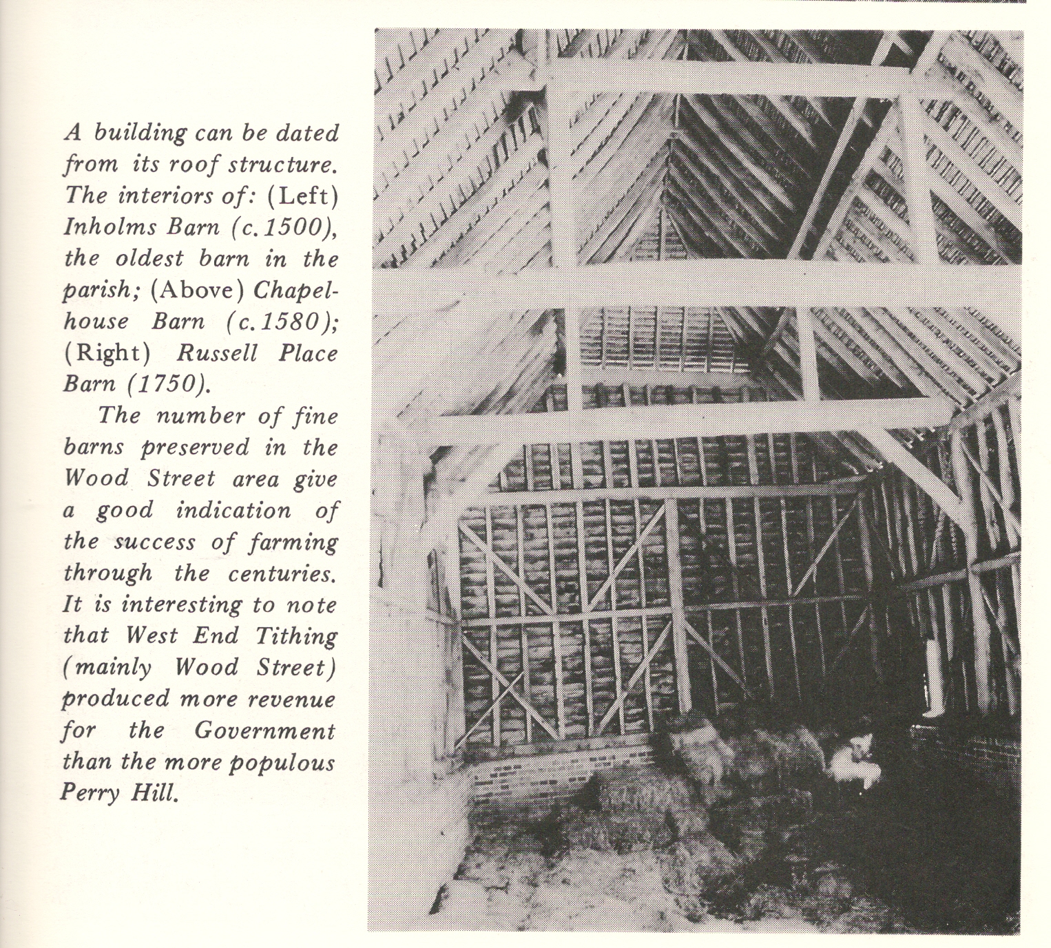
Russell Place Barn 1750
There was a distinct pattern of ownership relating to the age of the farmer. A young man acquired a tenancy and gradually saved up some money. He then invested this money by acting as a mortgagee to another local farmer. (Mortgages were usually only for a year at a time, so it was possible to retrieve the investment quite quickly.) Later in life it became possible to buy a farm or just a few fields. If the land a farmer owned was less easily managed than that he rented, then he would let it out and continue as a tenant himself: John Pink did this when he bought the forge in 1786. Similarly, William Trigg of Woking, who seems to have been a tenant of the Tickner family there, owned the present forge land in 1870. In old age a farmer might be able to retire, leaving his son or another tenant paying rent to him as his pension. Thus John Loveland junior undertook (1742) to pay off a mortgage of £60 and pay his parents five pounds a year for the rest of their natural lives.
Richer landowners began to acquire vast areas of Woodstreet and beyond during the nineteenth century. John Chitty (not the wheelwright) owned Littlefield, Attfield, Goldfinches, Froggrove, Russell Place and Comptons in 1832. Mary Mangles, born in the parish, wife of Guildford’s first Liberal Member of Parliament, owned Passengers, Old Gables, Wildfields and Bushes. The farms facing the Green (except Inholms) were almost the only ones which were owner-occupied. Most of the farms were arable and meadow; cattle, sheep and geese being grazed on the waste or common land. The last flock of geese was removed from the Green in 1986 at the request of the Cricket Club. There were at least half-a-dozen dairies during the early 1900s. Dunmore Farm had its own kiln, firing cream jugs for their dairy use. The milk was distributed until the 1930s by horse and cart.
Land behind the post office was coppiced for canes for making into walking-sticks. Locals remember saying, ‘We’re going up to the walking- sticks’. They were manufactured in Stoughton.
During both World Wars the farms concentrated on crop growing. Broad Street Common was ploughed and sown with wheat. A number involved themselves with poultry farming.
Steam traction engines were parked on the village commons. They were in constant demand during the first half of this century for driving threshing machines. Three generations of the Langford family owned and drove these until the coming of the combine harvester, the business continuing with more modern machinery until 1982. The youngest Langford brothers still enjoy the age of steam with an engine which they display at local shows.
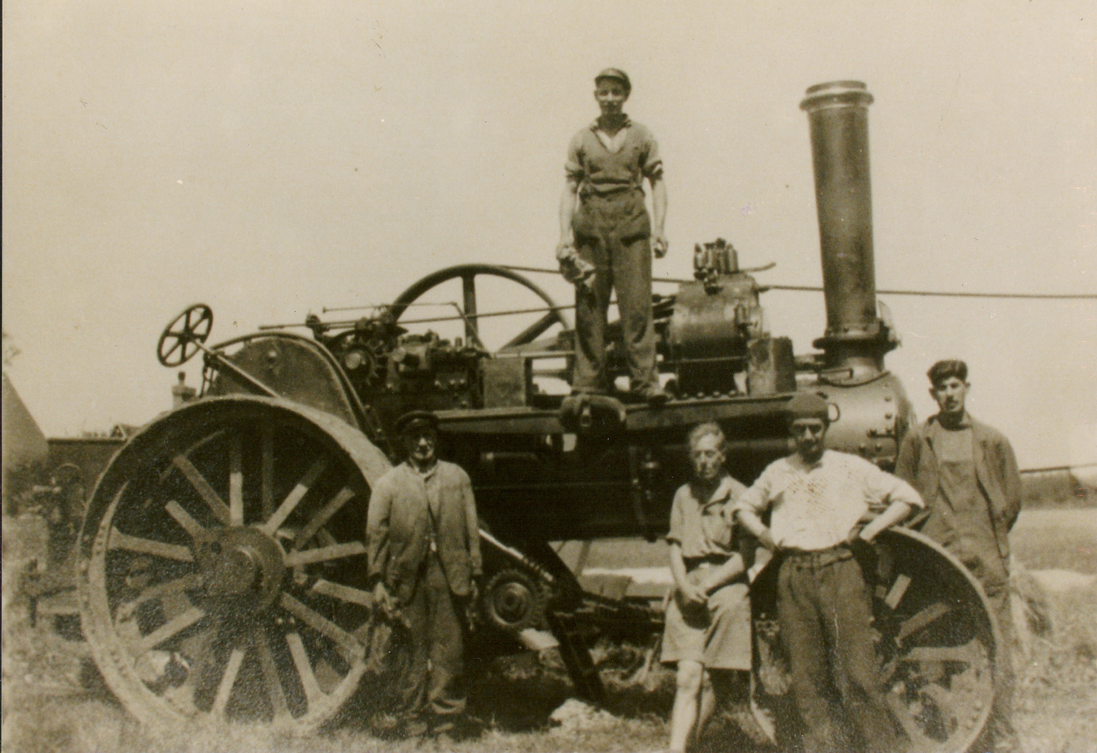
The Thrifty-Fowler 7 N.H.P General Purpose Engine used for threshing by Jim and Mary Langford and Sons’ local business. Left to rights: Jim Langford, his son Eric Langford, two casual labourers from the M.O.D., and far right son Basil Langford.
Few of the twenty-five or so recorded farms of the nineteenth century remain as working farms: much farmland has been divided for smallholdings or sold for estate development. Farmhouses have become attractive residential houses rather than working farms. Some, like Range Farmhouse, were demolished before recent conservation interest arose. Despite the Brocks’ efficient farming of Blackwell, the farm on the south side of the railway, it has recently been acquired by the University of Surrey as an extension to its Research Park Industrial Estate.
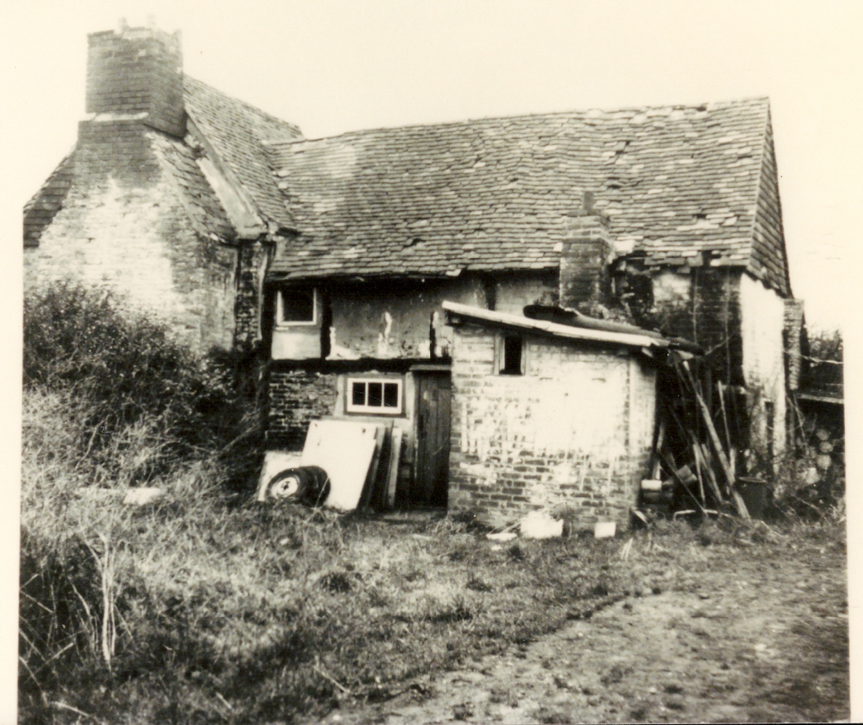
Range Farm, showing the neglect which allowed its demolition. The 17th century timbers were bought by Mr John Martin for use in the rebuilding of the old skittle alley and other parts of the White Hart. The 18th century (newer part of the) pub building and modern restaurant can now boast genuine ancient features.
The four pictures below show the buildings of Comptons Farm which was converted to a residence in 1938.
Frog Grove Lane was still a track; the A323 was yet to exist. The road went to Henley Park with a track towards Normandy.
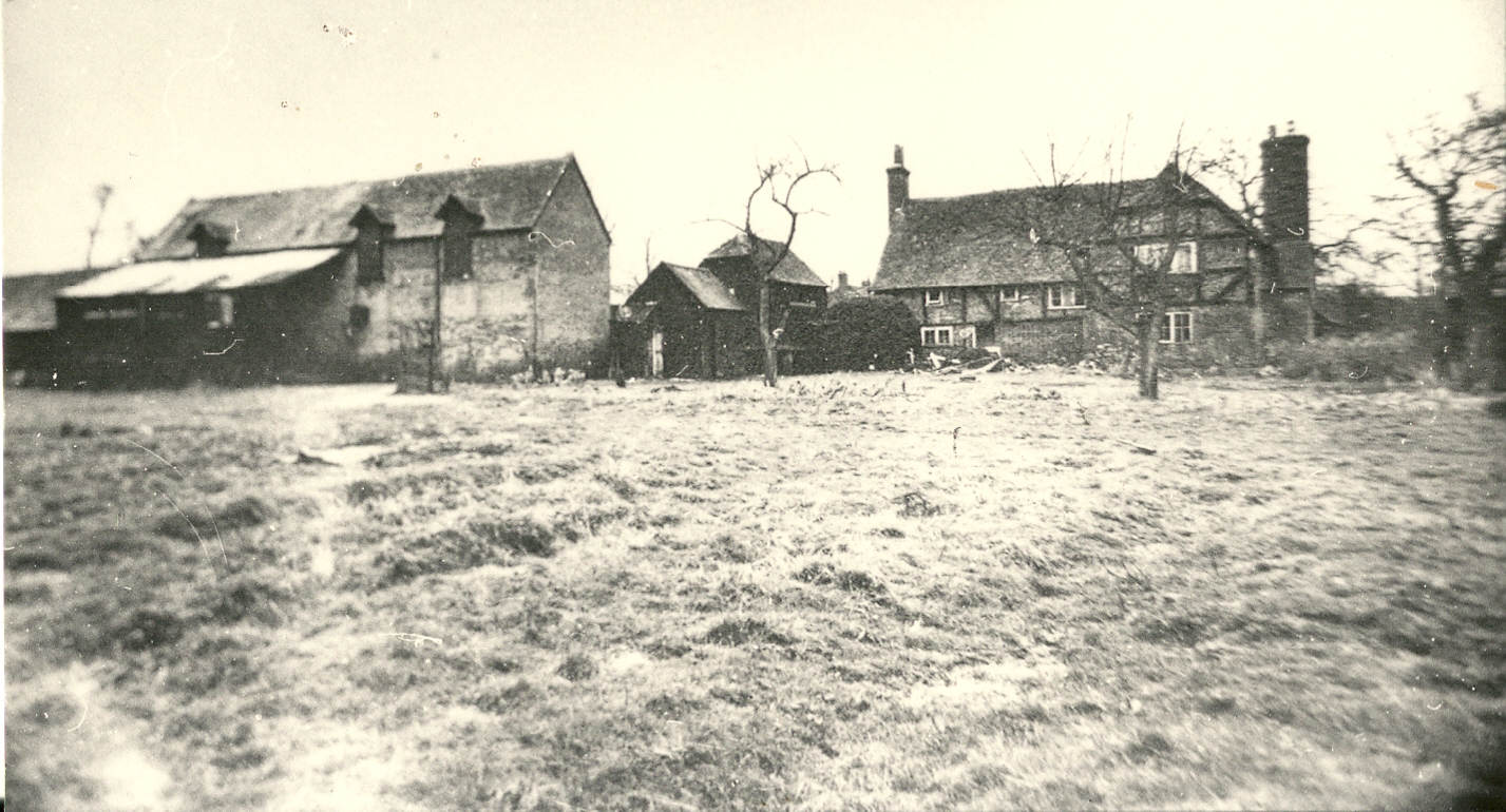
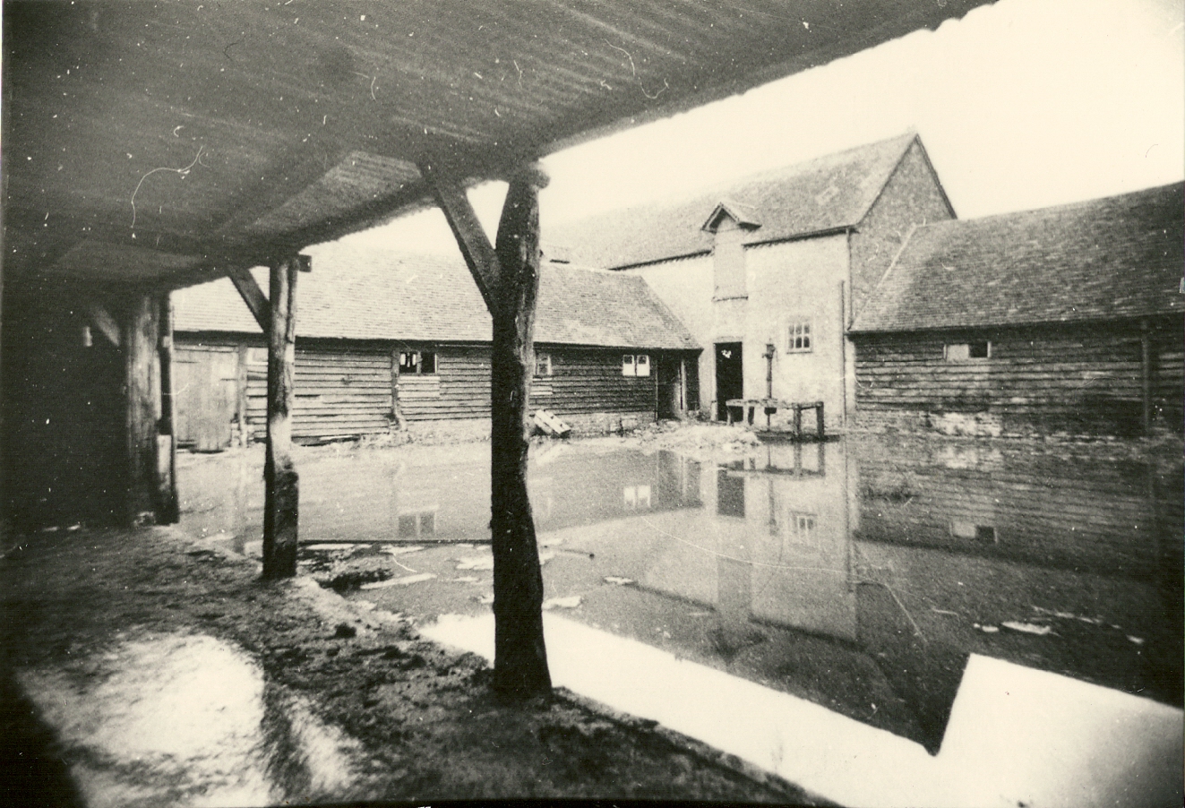

Wood Street Village Comptons Farm
Farm Names
The names of the farms are of interest. Littlefield was known as Littlefeldt in 1294, and Hillplace may derive from Nicholas de Hulle of the same era. Wildfields was Whitefields in 1605, a name reflecting the appearance of the chalky fields after ploughing. Nightingales (Nightingale Old Farm) also originates from this time. Several farms take their names from eighteenth-century tenants: Henry Compton, John Pink and John Passenger left their names to the farms they rented rather than to the places they owned.
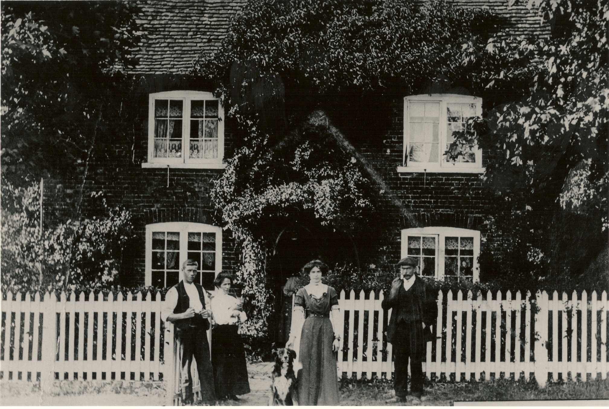
The Farm Bailiff and his family outside Hillplace. The house is one of sixteen listed buildings in Wood Street Village. The farm may originate from Norman ownership. The ghost, who spoke in French, ceased his haunt after the tragic destruction of the magnificent old barn by a fire in September 1981.
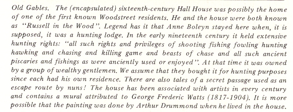
Until a century ago Old Gables was known as Russell in the Wood. The last Russell owner was Dorothy Russell in 1780. One of the first records using the title ‘Woodstreet’ contains a reference to Wiltmo Russell in the wood (1542/3). Parish records refer to Thomas Russell of the Wood (d. 1598), Robert of the Wood (1591) and John in the Woode (1619). In 1605 John Russell had recently built in the wood known as Bazil Wood. Bazil Wood was that area surrounding Old Gables and Hollybush Farm and extending southwards towards Blackwell Farm. Old Gables has also been called Russell’s Farm (1841), Pinks Hill Farm (1860) and Hyde House (1923).
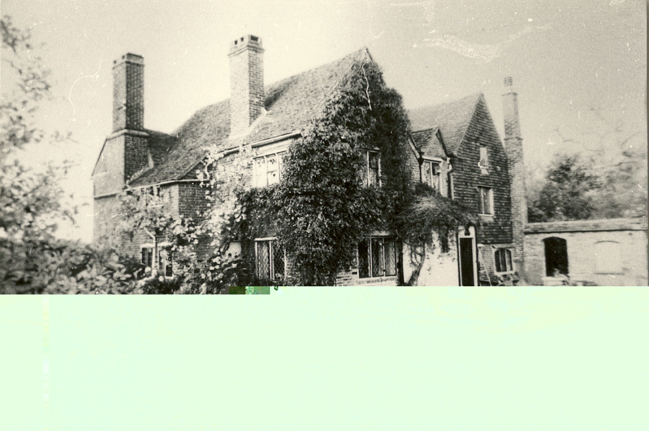
Old Gables – Legend has it Anne Boleyn stayed here; Also has a mural attributed to George Frederic Watts
It is likely that Russell Place also derives its name from the Russell family; perhaps even from the first known Woodstreet resident, Johe (John) Russell in the Woodstrete (1542/3). Thomas Russell of Woodstreat is frequently recorded as a father between 1588 and 1605.
Whipley is spelt as Weep Leigh in nineteenth-century documents. Busshiclose (1548) may refer to Passengers or Bushes Farm: Passengers was known as Bush Inhams before common usage changed its name. Frog Grove was Forgrove Gate in 1548 and Forgrove in 1609. The word gate implies a thoroughfare. Chapelhouse acquired such a distinction following its use as a Meeting House although it was previously called Pink’s Hill Farm after its owner Thomas Pink. Pound Farm takes its name from the pound which was situated adjacent to the brook on the edge of the common. The pound, where wandering livestock were impounded, survived into this century. Hollybush is a recent name replacing Hartsouth.
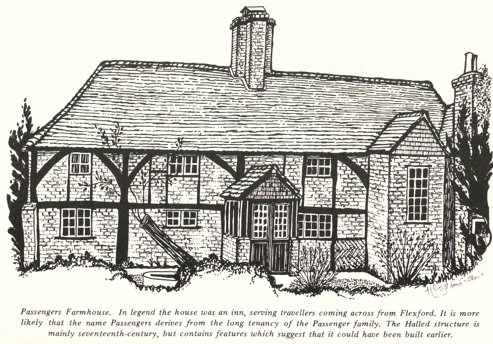
Passengers Farmhouse